 Tutorials 20 min read
 August 22, 2026
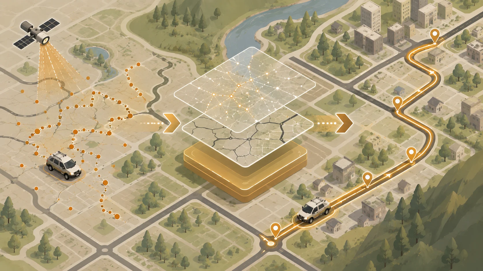
Map Matching API: How It Snaps GPS to RoadsRaw GPS is noisy and unreliable. Here's how map matching fixes it, how the algorithm actually works, and where it still breaks down.
Read guideAuthor
Jenish Hapaliya is an SEO & Content Specialist with 2+ years of hands-on experience in organic growth, content strategy, and AI-search optimization. He has built and scaled multiple websites, including LLaMaRush, where he improved overall keyword rankings from position 60 to 11 in four months. He writes about SEO, content marketing, and AI search based on hands-on experience and research.
Articles
Tutorials 20 min read August 22, 2026
Map Matching API: How It Snaps GPS to RoadsRaw GPS is noisy and unreliable. Here's how map matching fixes it, how the algorithm actually works, and where it still breaks down.
Read guide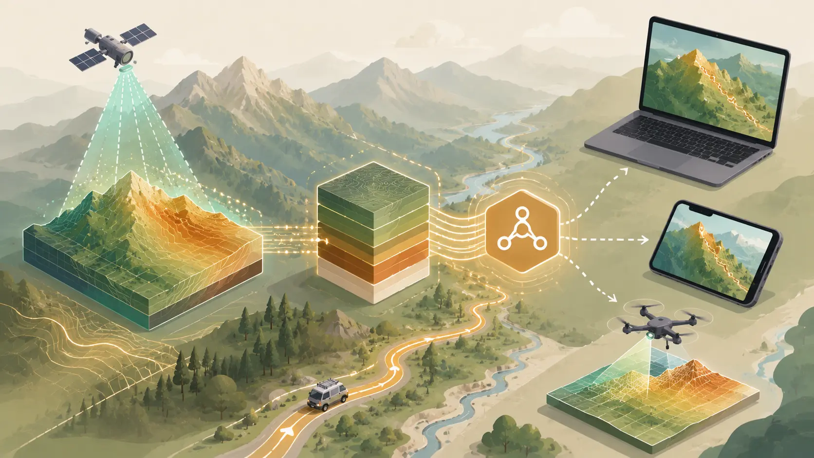 Tutorials 17 min read
 August 9, 2026
Elevation Data API: A Guide for DevelopersA developer's guide to elevation data: DEM sources, accuracy, formats, and how to add elevation to routing, risk models, and field apps.
Read guide Comparisons 17 min read
 July 29, 2026
Route Optimization vs Standard Routing: Key DifferencesRoute optimization reorders stops for the shortest trip. Standard routing finds one path. Learn which to use and how the APIs differ.
Read guide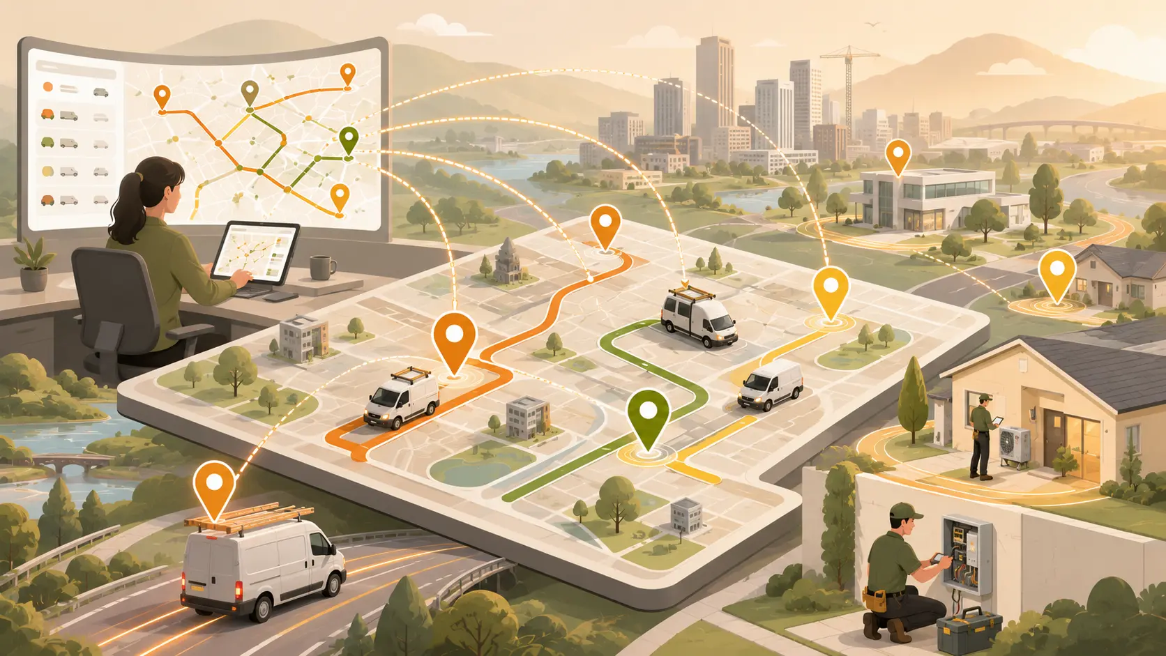 Use Cases 13 min read
 July 14, 2026
How Do Field Service Companies Optimize Dispatch?How field service companies optimize technician dispatch with smarter routing, reduced travel time, faster response and lower costs.
Read guide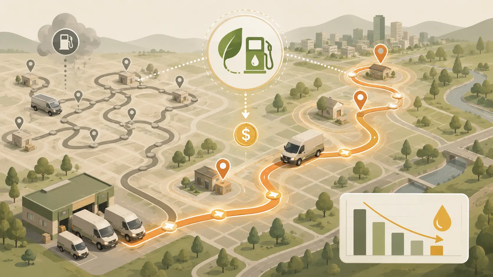 Use Cases 12 min read
 June 25, 2026
How Delivery Companies Cut Fuel Costs with Route OptimizationWhy the cheapest route is rarely the best one - and what actually drives savings at scale.
Read guide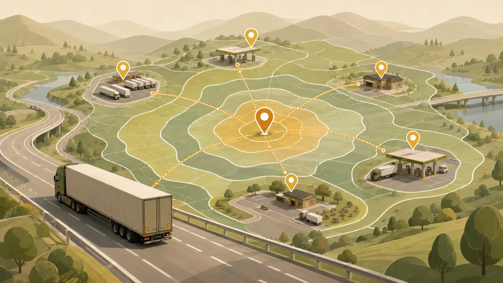 Use Cases 13 min read
 June 18, 2026
How Isochrones Help Truckers Plan Rest Stops and Fuel BreaksA practical guide for logistics teams building smarter route planning tools.
Read guide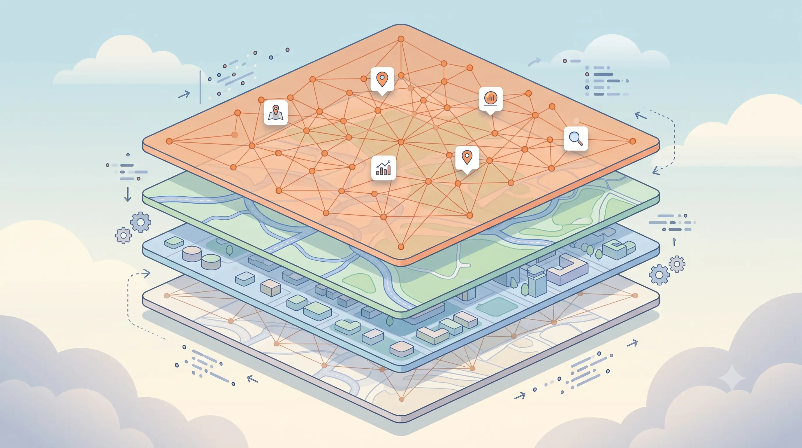 Tutorials 21 min read
 June 4, 2026
What Are Vector Tiles? A Complete Guide For DevelopersModern maps feel fast because they do not ship one giant map image to the browser. They ship small pieces of geographic data, just enough for the current zoom level and viewport and let the client render the final map.
Read guide